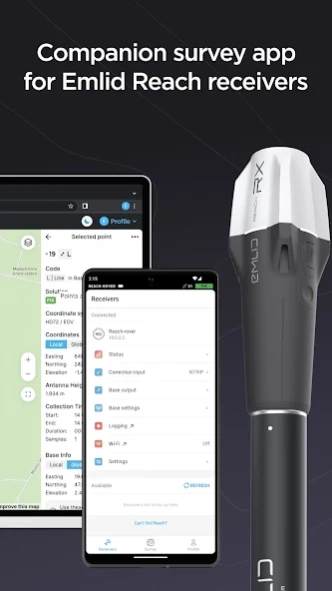
Version History
Here you can find the changelog of Emlid Flow since it was posted on our website on 2021-12-12.
The latest version is 10.3 and it was updated on soft112.com on 19 April, 2024.
See below the changes in each version:
version 10.3
posted on 2024-04-15
• We updated the Collector tool with the “Precision limit” setting! Now you have more control over the quality of the data you collect. This new feature is available in both Free and Survey plans.
version 10.1
posted on 2024-03-26
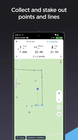
• We are introducing the Stakeout report feature. Now you can save points directly from stakeout mode and export the coordinate deltas as a CSV report.
• Various fixes and improvements.
version 9.12
posted on 2024-02-14
• The Line Info screen now provides more information about each segment of a line.
• Various fixes and improvements.
version 9.11
posted on 2024-02-08
• The stakeout tool now displays the azimuth value. The azimuth value is a measure of the direction from a rover to a target in point stakeout, and to an intersection point in “To line” mode.
• You can now select and view point and line information directly from the collect and stakeout modes.
• Various fixes and improvements.
version 9.9
posted on 2023-12-27
version 9.6
posted on 2023-11-20
• With this update, projects with a projection will use grid distances in the calculations. Projects in the Global coordinate system will use ground distances.
• We updated the formatting of distances in the Stakeout tool and line info screen. The new format provides centimeter-level accuracy even for long distances.
version 9.5
posted on 2023-11-09
• Added new coordinate systems for Ireland, Germany, and Hong Kong.
• Updated the geoid used for “DVR90 height” to a newer version.
• Various fixes and improvements.
version 9.4
posted on 2023-10-18
• The “FIX only” option is now available for the Stakeout tool. When turned on, the setting will also show a notification in the status bar, highlighting insufficient conditions.
• We updated the Profile section of the app. You can now find the link for documentation for every Emlid receiver and software product. The offline PDF docs are also available for download at the bottom of the documentation page.
• Various fixes and improvements.
version 9.2
posted on 2023-09-22
• Various fixes and improvements.
version 9.1
posted on 2023-09-04
• Added a bunch of WGS84-based projections for India.
• Added a new vertical datum was introduced for high-precision measurements in Bucharest, Romania—“Bucharest-Ilfov MN75 height”.
• The UTM zones 34N and 35N of the ETRS89 datum are now available for Romania.
• The “Romania MN75 height” was renamed to “MN75 height” and updated and now it uses the latest version of the geoid: “EGG97_QGRJ_2023.tif”.
version 9
posted on 2023-08-16
• We are pleased to introduce a major update of the Survey plan—Localization. With this new feature you can calibrate your work site to fit existing control points for better precision.
• Various fixes and improvements.
version 8.9
posted on 2023-06-07
• You can now search the lists of projects and NTRIP profiles.
• Various fixes and improvements.
version 8.7
posted on 2023-05-11
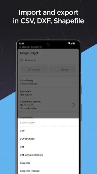
• CSV(PENZD) import format added.
• We added new vertical datums for Thailand (Kolak-1915 height) and Italy (Genoa 1942(South Tirol) height). Support for Israeli CRSs (Israeli Grid 05/12, Israeli Grid 05) has also been added.
• Various fixes and improvements.
version 8.5
posted on 2023-03-28
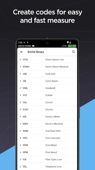
• Survey plan users can now change points' codes. That includes older data created before coding was introduced to Emlid Flow. Note that this update also fixes the ordering of objects when exporting or importing data.
• Meet the updated object list in the project view! Check out the improved search logic and redesigned display of lines' contents.
• Various fixes and improvements.
version 7.1
posted on 2022-04-26
. We added new vertical datums for Columbia (Colombia GeoCol2004 height) and Azores Islands (Portugal GEODAZ2014 height).
. Various fixes and improvements.
version 6.17
posted on 2022-03-29
. When connected to a receiver, you can now change its Bluetooth settings and manage its paired devices.
. Various fixes and improvements.
version 6.15
posted on 2022-02-22
. Exported CSV files now have additional columns containing geographic coordinates of the base.
. Various fixes and improvements.
version 6.14
posted on 2022-02-08
. We added the ability to edit the name and description of existing survey projects.
. ReachView 3 now supports DXF export with the point name and height as text objects.
. The collector tool now makes a sound upon successful point collection.
. Added a new option for the Correction output-“Local NTRIP.”
. Various fixes and improvements.
version 6.13
posted on 2022-01-25
. Exported CSV files now have an additional column containing the name of the coordinate system.
. Added the new transformation from RGF93 to NTF used for all CRSs based on NTF datum. These systems now require grid downloading.
. When connected to a receiver, you can now check its Firmware version and available updates from inside the app.
. Various fixes and improvements.
version 6.12
posted on 2022-01-11
. Fixed a rare case that could lead to the rover and base icons missing from the map.
. Fixed an issue that could lead to degraded performance of the collector tool while using a high update rate in GNSS settings.
. Various fixes and improvements.
version 6.12
posted on 2021-12-22
. Coordinate systems without a projection are discontinued. If you want to work in degrees, you may use the new Global CS option.
. Added the datum transformation from ETRS89 to Belge 1972, used in Belgium.
. There are new vertical datums for France, Brazil, South Africa, and Belgium.
. We increased the maximum collection time to 60 minutes.
. Position accuracy is now shown at all times, not just when averaging.
. Various fixes and improvements.